The data foundation
IRIS embeddings
The spatial layer under every forecast.
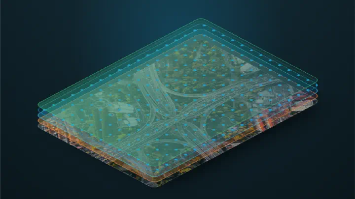
How a place becomes a vector
A place embedding is a location read as data: one short list of numbers that carries the built form, the people, the movement and the amenities around a spot at once. Here is what that vector is, and what it is not.
Read · 4 min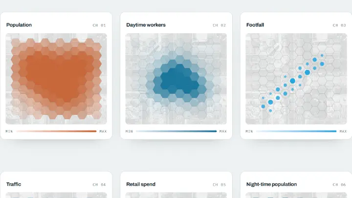
The signals behind a place embedding
More than 100 signals go into every IRIS place embedding: who lives and works nearby, who passes through, what is around, how busy the roads are, plus learned satellite bands. Here is what those signals are and where they come from.
Read · 4 min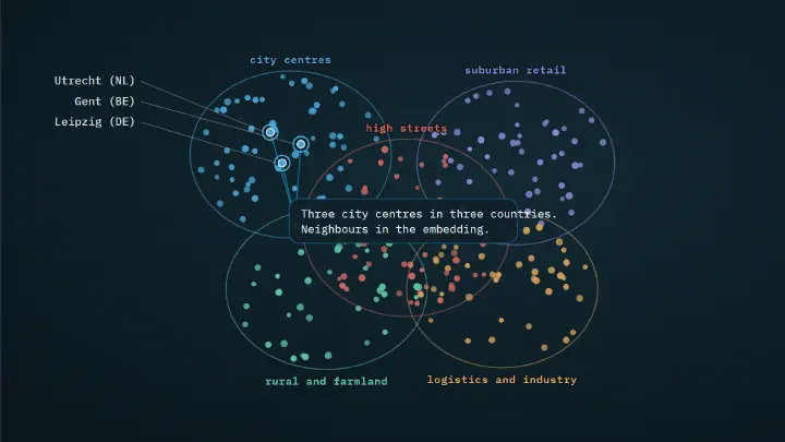
How IRIS learns the embedding
IRIS learns its place embeddings by comparison: it reads millions of locations at once and arranges them so places with similar surroundings sit close together. Here is how that training works, and why the embedding carries no accuracy claim of its own.
Read · 4 min
Why a hexagon grid
IRIS lays a single hexagon grid over the whole modelled map so every place is measured the same way. Here is why hexagons beat squares for spatial comparison, what near-equal-area really means, and the grid IRIS uses.
Read · 4 min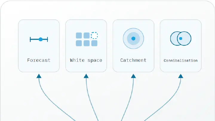
How the embedding powers a forecast
The IRIS embedding sits under every answer IRIS gives: white-space maps, catchment profiles, cannibalisation checks and revenue forecasts all read from the same vectors. Here is how similarity becomes a forecast, and where the honest line sits between the two.
Read · 4 minSee how this works on your own estate.
Book demo